Restoring Oyster Reefs
About this Inquiry
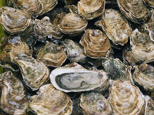
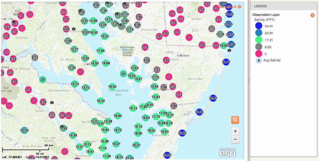
This Inquiry is based around the Chesapeake Bay, located in the mid-Atlantic region of the United States, and is focused on oysters. After learning about the role of oysters in an estuary ecosystem and a population decline that oysters have faced over time from overharvesting and pollution, students work with data to determine where are ideal sites for restoring oyster populations. The data come from a citizen science project where schools and other organizations contribute information they collect on conditions across different parts of the Chesapeake Bay watershed. Data from government agencies like NOAA are also included. Students learn about what water conditions oysters need to thrive and then use maps and graphs to sort through data sets to conduct their analysis for selecting locations best suited for oysters.
Instructional Days
2 days
Learning Goals
- Analyze and interpret graphical displays (e.g., maps, graphs) of large data sets to identify geographic and temporal patterns and relationships among variables within the Chesapeake Bay estuary system, including distributions of salinity levels.
- Construct an argument supported by empirical evidence and scientific reasoning to support or refute a solution to a problem.
- Refine an analysis of oyster reef restoration site locations to account for variability within an estuary system.
Type of Analysis
- Graphing – Time-series Plot
- Mapping – Symbology
- Mapping – Spatial Analysis
About this Citizen Science Project:
The Chesapeake Bay Watershed Project is a citizen science initiative in which community members and students investigate water quality issues on local and regional scales and collaborate across the Bay watershed to analyze data and take action. It is run in collaboration with the NOAA Chesapeake Bay Office. The project is open and free for students and educators across the Chesapeake Bay watershed to join. Classrooms can choose to collect and contribute data to this project or to analyze the existing data, including from other classrooms and citizen science groups around the watershed, as well as data from government agencies.